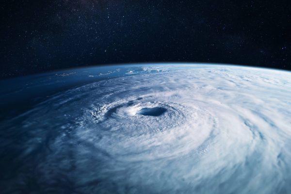
Hurricane Polo has become one of the most powerful storms ever recorded in the eastern Pacific, with maximum sustained winds of 180 miles per hour and a central pressure of 892 millibars—the second lowest ever measured in that basin. While the storm's core is expected to stay well offshore, its influence could still be felt in California, mainly through high surf and increased moisture.
A historic storm, but not a direct hit
According to the National Hurricane Center, Polo's pressure reading places it among the most intense cyclones in the region's history. Satellite imagery shows a well-defined double eyewall, a sign of a mature and powerful system. However, forecast tracks keep the center south of Baja California and moving northwestward, away from the U.S. West Coast.
That doesn't mean California is completely in the clear. Even as Polo weakens, its outer rainbands could brush the southern part of the state, bringing brief showers and thunderstorms. More likely, though, are dangerous rip currents and large waves along the coast, especially in Southern California beaches from San Diego to Santa Barbara.
El Niño's role in an aggressive season
Polo's rapid intensification is directly linked to a strengthening El Niño, which has warmed sea surface temperatures and reduced wind shear across the Pacific. This has already produced 19 named storms and three Category 5 hurricanes this season, a level of activity that has forecasters on alert. The same conditions could continue to spawn more storms into the autumn, keeping coastal communities on edge.
For California, the bigger concern may be the long-term forecast. As California declares an emergency over a looming Super El Niño, the state is bracing for a wet winter that could bring both relief from drought and risks of flooding. The current hurricane activity is a preview of the atmospheric dynamics at play.
What Californians should watch
While a direct landfall is unlikely, residents should pay attention to local advisories about high surf and potential coastal flooding. The National Weather Service often issues warnings for rip currents, which can be deadly even in seemingly calm conditions. Additionally, the moisture from Polo could enhance monsoon-like thunderstorms in the deserts and mountains, leading to flash flooding in burn scars.
For those concerned about power outages or utility costs, it's worth noting that California electricity bill credits are available to some households, and the CARE program offers discounts for eligible residents. These measures can help ease the financial strain of extreme weather events.
As the season progresses, forecasters will keep a close eye on any shifts in steering currents that could bring Polo's remnants closer to the coast. But for now, the main message is to stay informed and prepared, not alarmed.
For the Latino community along the Pacific coast, from Tijuana to Los Angeles, this storm is a reminder of the shared climate challenges across the region. Whether it's the fishermen in Baja or the surfers in Huntington Beach, the ocean's power affects us all.