This year's Atlantic hurricane season has been anything but typical. While the eastern Pacific churns with powerful storms, the Atlantic has remained eerily calm, thanks to a strong El Niño that has suppressed tropical development. Meteorologists are calling it a historic anomaly—one that hasn't been seen in six decades.
As of mid-September, the Atlantic has yet to see a single hurricane, a record-breaking quiet that has left experts stunned. The usual catalysts for storm formation—warm waters and low wind shear—have been disrupted by strong upper-level winds and dry Saharan air, which have been dismantling African wave pulses before they can organize into tropical systems.
A tale of two oceans
While the Atlantic sleeps, the eastern Pacific is wide awake. Sixteen named storms have already formed there, including six hurricanes and three major ones, easily surpassing the seasonal averages. Hurricane Lowell alone has generated more accumulated cyclone energy (ACE) than the entire Atlantic basin this year. The contrast is stark: the Atlantic's ACE sits at a meager 4.4 units, compared to a normal 51 by this point and an annual average of 122.5.
This split is a direct result of El Niño, which alters global weather patterns by suppressing Atlantic cyclogenesis while supercharging neighboring basins. The phenomenon has been so effective that forecasters like Bryan Norcross have pointed to historical analogs—years like 1851, 1907, and 1914—to show that a hurricane-free season is possible, even if it's extremely rare.
But the quiet doesn't mean the danger has passed. Late-season storms often form closer to the United States, including the Gulf of Mexico and the southeastern coast of Florida, where El Niño's wind shear has less influence. Emergency management teams in these regions are staying vigilant, knowing that even in quiet years, devastating systems can strike.
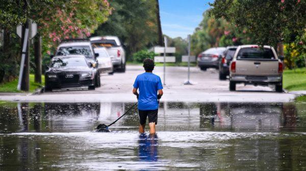
Take, for example, the record-breaking downpours that hit the central Gulf coast and eastern Texas earlier this year, remnants of tropical systems that brought catastrophic flash flooding. The official category of a storm doesn't always tell the full story—warmer global temperatures mean these systems can carry more moisture, leading to extreme rainfall even when they're not classified as major hurricanes.
Long-range models from the Climate Prediction Center suggest that late-season anomalies could still emerge if conditions shift near stalled fronts off the southeastern coast. That's why officials across coastal states are maintaining standard preparedness protocols, even as the season's peak passes without incident.
For now, the Atlantic's calm is a welcome reprieve, but it's not a reason to let our guard down. As the climate continues to evolve, so too does the behavior of these storms. The unique conditions of this year's El Niño have rewritten the record books, but they've also reminded us that nature always holds surprises.
For those in Florida and the Gulf, staying informed is key. Keep an eye on the Saharan dust that's been affecting air quality and the recent spike in dengue cases—both are reminders that weather and health are closely linked. And as the season winds down, remember that the Pacific's activity can still influence conditions here.
In the end, this hurricane season with El Niño is a testament to the complexity of our planet's climate systems. It's a story of contrasts—between oceans, between expectations and reality, and between the calm we see and the risks that remain.