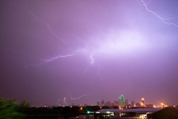
Residents across the Texas Panhandle are preparing for a volatile weather day as forecasters track a storm system that could bring hail nearly the size of ping-pong balls, damaging winds, and the threat of localized flooding. The National Weather Service has placed communities near Amarillo and Dumas under close watch, with the eastern Panhandle expected to see the most intense activity.
The severe weather window is set to open Tuesday afternoon, roughly between 4 p.m. and 11 p.m. Central Time. Meteorologists warn that the strongest cells could produce hail large enough to dent vehicles and damage roofs, along with wind gusts that may reach 60 mph. While the risk of a tornado remains low, forecasters have not ruled out an isolated spin-up.
More than just hail
The danger doesn’t end when the thunderstorms pass. Repeated rounds of rain are expected to soak the southeastern Panhandle over the next 48 hours, raising the possibility of flash flooding in low-lying areas. Forecasters are urging residents to stay alert and avoid driving through flooded roadways.
The same system will also usher in a noticeable temperature drop. A cold front arriving midweek could push daytime highs into the 50s by Friday, with overnight lows potentially dipping into the 40s by the weekend. For many in the region, this will feel like a sudden shift from the mild autumn days they’ve been enjoying.
While the Panhandle is the focus of the severe weather threat, forecasters stress that the risk is not uniform across Texas. Residents in Houston, Dallas, San Antonio, and other metropolitan areas should not assume the hail forecast applies to their communities. The storm’s exact path and intensity remain uncertain, and conditions can change quickly.
For those living in the most vulnerable areas, the immediate priority is practical: move vehicles under cover when possible, secure loose outdoor items, and keep weather alerts enabled. Anyone traveling through the Panhandle Tuesday evening should be prepared for rapidly changing visibility and road conditions.
This weather event comes as Texas continues to experience a range of climate-related challenges. From super El Niño patterns reshaping winter weather to the ongoing pressures of eviction law changes affecting renters, the state’s residents are no strangers to environmental and social shifts. But for now, the immediate concern is the sky above the Panhandle.
Forecasters will continue to monitor the system as it develops, and updates are expected throughout the day. For the latest information, residents are encouraged to follow their local National Weather Service office and heed any warnings issued.
This storm is a reminder of how quickly fall weather can turn in Texas, with potentially damaging thunderstorms arriving just ahead of a significant cooldown. As the region hunkers down, the hope is that the hail stays small and the rain stays manageable.