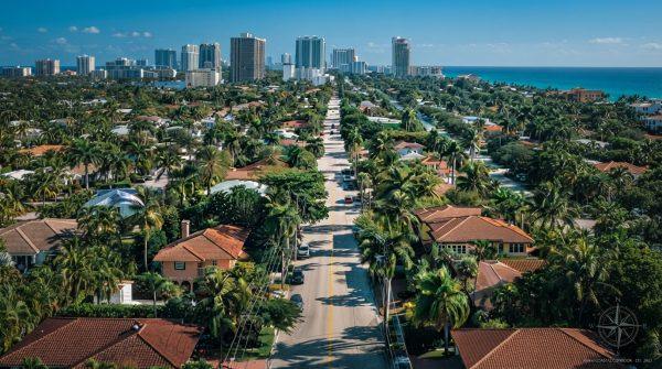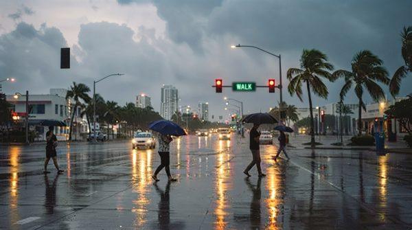
South Florida is gearing up for a dramatic shift in weather as a multi-day severe storm system moves in, bringing heavy downpours, lightning, and the potential for localized flooding. After a clear Tuesday morning, conditions are expected to deteriorate quickly by Wednesday, with the National Weather Service in Miami forecasting an 80% chance of precipitation during peak afternoon hours. This isn't a quick passing shower—meteorologists warn that the unstable atmospheric pattern will linger through the weekend, affecting commutes, outdoor plans, and even the region's sports scene.
For those who follow the Miami Hurricanes and the Dolphins, this week's away games offer a silver lining: stadium crowds will avoid the worst of the afternoon storms. But for the rest of us, the coming days require a bit of preparation and caution.
What's driving the storm system?
The storms are fueled by a combination of persistent atmospheric instability and moisture streaming in from the warm waters surrounding the Florida peninsula. Mid-week pressure shifts are creating ideal conditions for sudden lightning and gusty winds. According to research from the American Meteorological Society, these systems tap into Gulf moisture to intensify rainfall, and local radar is tracking convective developments closely to give emergency operators as much advance warning as possible.
Historically, urban drainage networks in Miami-Dade and Broward counties can become overwhelmed when rainfall rates exceed two inches per hour, as noted by NOAA data. That's why municipal crews are pre-positioning pump stations and clearing storm drains ahead of the heaviest downpours. Still, officials stress that residents should do their part by clearing gutters and ensuring that drainage on their property is unobstructed.
How to prepare your home and family
Emergency management teams across the Miami metropolitan area are urging residents to take a few simple steps before the storms hit:
- Secure outdoor furniture and loose objects that could become projectiles in high winds.
- Stock up on essentials like drinking water, flashlights, and batteries in case of power outages.
- Monitor official weather channels for sudden flood warnings and severe thunderstorm alerts.
- Plan alternative routes to avoid chronically flooded intersections, especially in low-lying areas.
Utility companies are also deploying extra repair crews to handle potential outages swiftly. Community preparedness programs recommend testing backup generators and charging devices ahead of time.
Driving and safety tips
One of the most critical safety messages from local authorities: never attempt to drive through flooded streets. The Federal Emergency Management Agency (FEMA) reports that just a few inches of fast-moving water can sweep away a standard passenger vehicle. If you encounter a flooded roadway, turn around and find an alternate route. It's not worth the risk.
For those who rely on public transit, commuter advisory boards recommend checking real-time alerts to avoid stranded buses or trains. And with lightning a real threat, it's wise to stay indoors during peak storm hours, typically in the afternoon and early evening.
Weekend outlook and beyond
The storm system shows little sign of letting up before late Sunday evening, which means weekend plans—whether it's a beach day or a backyard barbecue—will likely need to be flexible. Continuous rainfall will blanket both coastal and inland neighborhoods, and while that's a temporary inconvenience for many, agricultural specialists point out that the moderate precipitation is beneficial for regional soil health.
Forecasters expect a gradual return to stable conditions by early Monday morning, bringing an end to this active weather cycle. Until then, stay weather-aware, check on neighbors, and keep your emergency kit handy.
For more on how weather patterns are affecting the region, you might also be interested in how Saharan dust can impact Florida's skies and why El Niño quiets the Atlantic hurricane season. And if you're looking for a break from the storm coverage, check out Shakira's new Madrid residency or Feid's US theater screenings.