As the equatorial Pacific warms, meteorologists are keeping a close eye on what a strengthening El Niño could mean for Texas this winter. The Climate Prediction Center has already noted significant temperature anomalies in key ocean regions, and the signals point to a season that could look very different from recent years.
For Texans, especially those in the western parts of the state, this could translate into more frequent rain and cooler daytime highs. The Amarillo area and the western plains are likely to see the most noticeable changes, with an increased chance of precipitation and a break from the drought that has gripped the region. But don't expect a uniform blanket of snow across the entire state—El Niño's effects are rarely that simple.
Regional variations and what to expect
According to climate experts, the impact of El Niño in Texas depends heavily on geography. While the west and the Panhandle may see wetter conditions, central and southern parts of the state might not experience the same intensity. "During strong El Niño events, the southern tier of the U.S. often gets more storminess, but Texas is a big state, and the effects can vary widely," says Dr. John Nielsen-Gammon, Texas State Climatologist and professor at Texas A&M University.
One key factor is the position of the jet stream, which tends to shift southward during El Niño winters. That can bring more cold fronts and low-pressure systems across the Lone Star State, leading to cloudy days and steady rains. However, for significant snowfall to reach central Texas, you'd need a strong surge of Arctic air—something that doesn't always align with El Niño, because the polar regions often stay milder during these events.
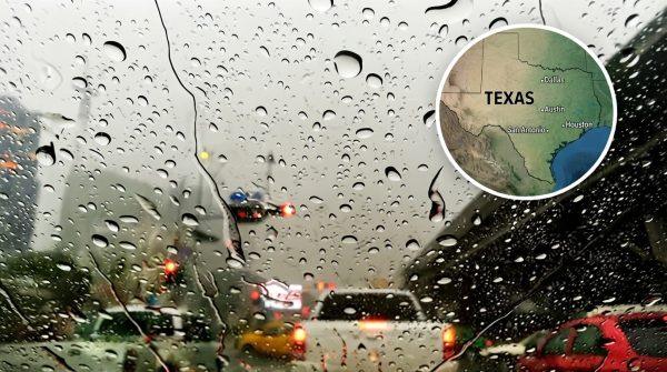
For urban centers like Houston, Dallas, and San Antonio, the winter might feel more like a series of gray, drizzly days rather than a dramatic snow event. That's a contrast to the recent La Niña winters, which brought drier and warmer conditions to much of the state.
Monitoring the Pacific and preparing locally
The National Oceanic and Atmospheric Administration (NOAA) is closely tracking sea surface temperatures in the equatorial Pacific. Recent readings show anomalies of +3.5°C in the Niño 1+2 region, which is a strong indicator of a robust El Niño. This warmth is already influencing atmospheric circulation, with increased rainfall over the eastern Pacific and drier conditions in Indonesia—a classic signature of the phenomenon.
Local authorities are taking note. State agencies and municipal emergency managers are reviewing flood mitigation plans, especially for areas that have seen rapid urban development. "We're telling people to stay informed and be ready for the possibility of heavier rains," says a spokesperson for the Texas Division of Emergency Management. "It's better to prepare now than to scramble later."
Agricultural communities are also watching closely. A wetter winter could be a boon for some crops, but it also raises concerns about soil erosion and the timing of planting seasons. Ranchers in West Texas, who have struggled with drought, might welcome the moisture, but they're also wary of sudden cold snaps that could stress livestock.
For those interested in the broader picture, this El Niño is part of a global pattern that also affects other regions. In fact, a super El Niño could bring a warmer, rainier winter to New York as well, showing how interconnected our weather systems are.
As the season progresses, the Climate Prediction Center will continue to issue updates. For now, the message from experts is clear: expect a winter that's more active than recent ones, especially in the western half of Texas. And while no one can predict exact snowfall totals, the odds are shifting toward a cooler, wetter few months.
For communities that have grown accustomed to mild winters, this could be a reminder that Texas weather is always full of surprises. Whether it's a rare snowstorm in Amarillo or just a series of rainy weekends in Austin, staying prepared is the best strategy. And with the state's infrastructure still recovering from past winter storms, local officials are urging residents to review their own emergency plans.
In the meantime, scientists will keep watching the Pacific, because every degree of warmth matters. As Dr. Nielsen-Gammon puts it, "El Niño is like a slow-moving wave that reshapes the atmosphere, and we're just starting to see its effects."